Forget about Wedgemont version1 Zoa Peak Aug. 2004


  Click on photo's to enlarge

  If you use Netscape you need to click on the enlarged photo to get the full size one as it automatically shows the whole photo shrunk down to the open window size (Netscape reduced photos look very bad, please look at the full size one)


  Started Checking some Coquihalla Hikes...wow...... 2 hours from Van and amazing views. Take the Falls Lake exit, last before the toll booth and drive under highway and up the road (paved!) to the parking lot
Img_2113 copy.jpg
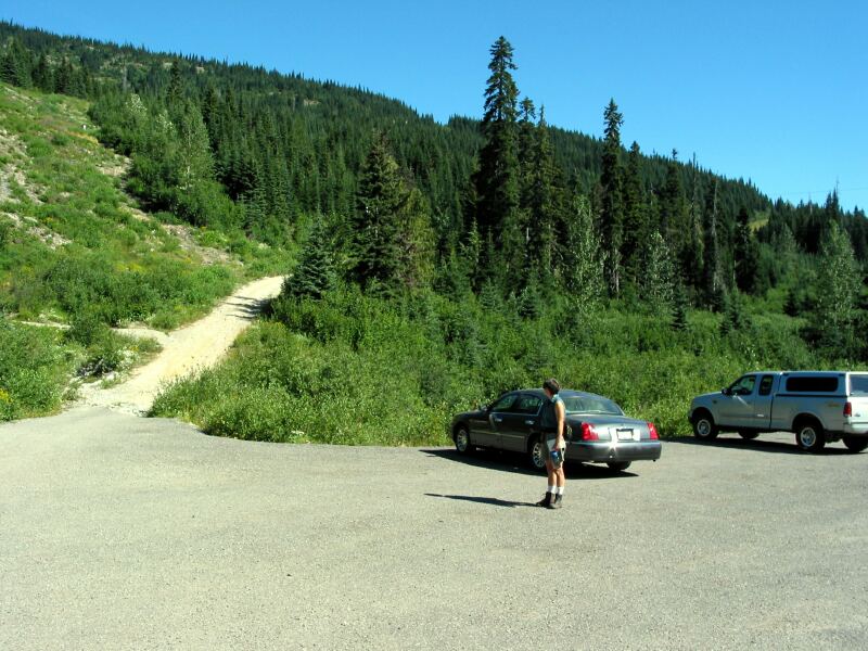
Parking Lot Falls Lake Rd - the road you go up is in the left of the photo
110.30 KB
Img_2212 copy.jpg
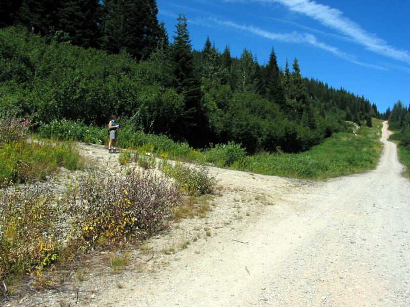
Ignore hiking path, but take this 4 wheel drive road 80 meters past hiking path
124.52 KB
Img_2206 copy.jpg
Turn up the pipeline off the 4 wheel drive road and go about 500 meters uphill to the ridge and this cairn and path off to left
162.90 KB

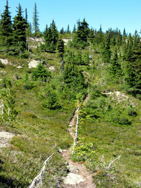
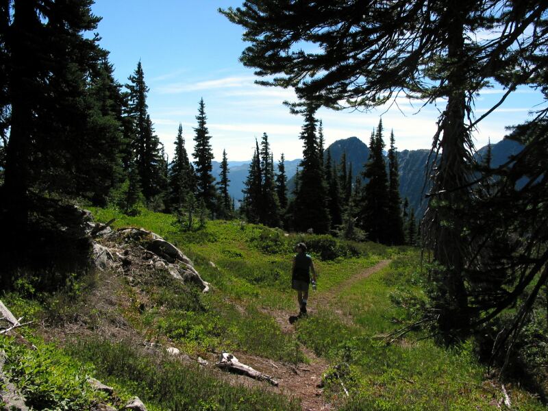
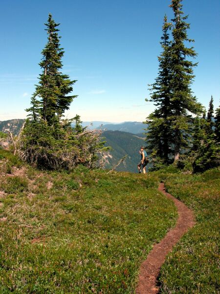
  Believe it or not you have got the major elevation gain out of the way.. on to the amazing ridge walk..
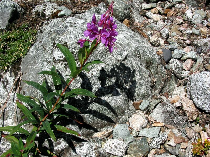
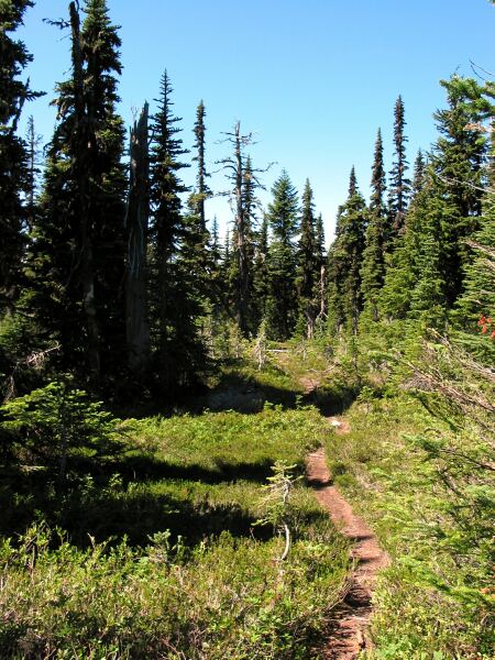
Img_2120 copy.jpg
Img_2120 copy.jpg
186.86 KB
Img_2124 copy.jpg
Img_2124 copy.jpg
97.20 KB
Img_2132 copy.jpg
Img_2132 copy.jpg
91.07 KB
Img_2137 copy.jpg
Img_2137 copy.jpg
140.05 KB
Img_2143 copy.jpg
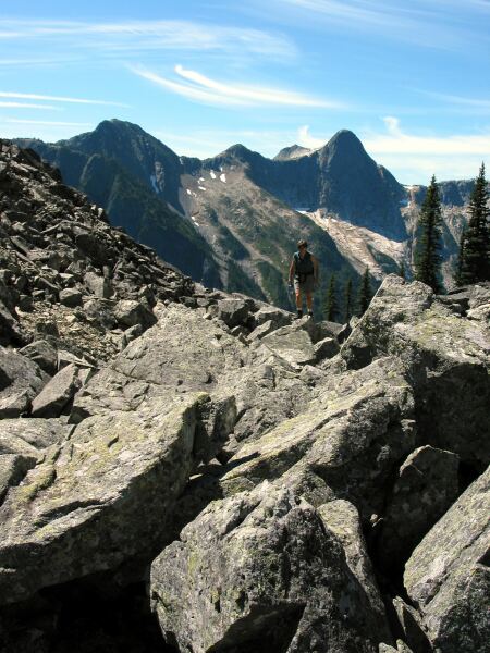
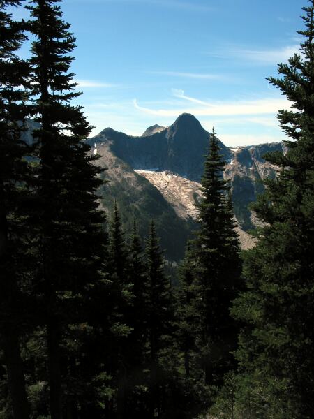
North Face of Yak Peak from between summits on Zoa...Wow!
140.55 KB
Img_2151 copy.jpg
Chris just had to see if you could see Falls Lake from here but no just more trees.
133.82 KB
Img_2159 copy.jpg
Img_2159 copy.jpg
74.79 KB
Img_2160 copy.jpg
Img_2160 copy.jpg
77.90 KB
Img_2163 copy.jpg
Climbing back out of the col between Zoa's peaks, looking back at the first peak
144.53 KB
Img_2171 copy.jpg
Humm nice view but the path splits... lets go left
110.53 KB
Img_2174 copy.jpg
Img_2174 copy.jpg
131.67 KB
Img_2175 copy.jpg
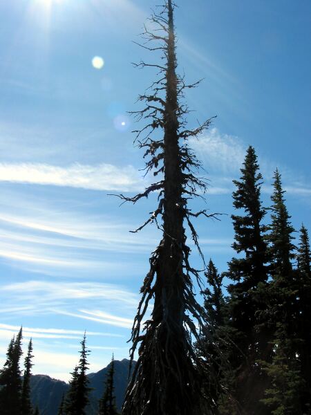
Oooh.. dead stuff, got to love gnarlies
47.45 KB
Img_2177 copy.jpg
And this is the end of the path...this way
51.12 KB
Img_2182 copy.jpg
Hell the path the other way ends.. humm 2 hours up, got to love that. No barren peak here... check out Needle peak stuff when I load it.
114.73 KB
Img_2190 copy.jpg
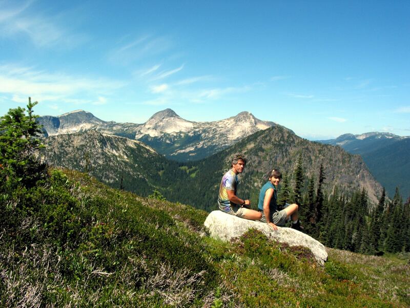
It's the edge of the world.....
78.93 KB
Img_2197 copy.jpg
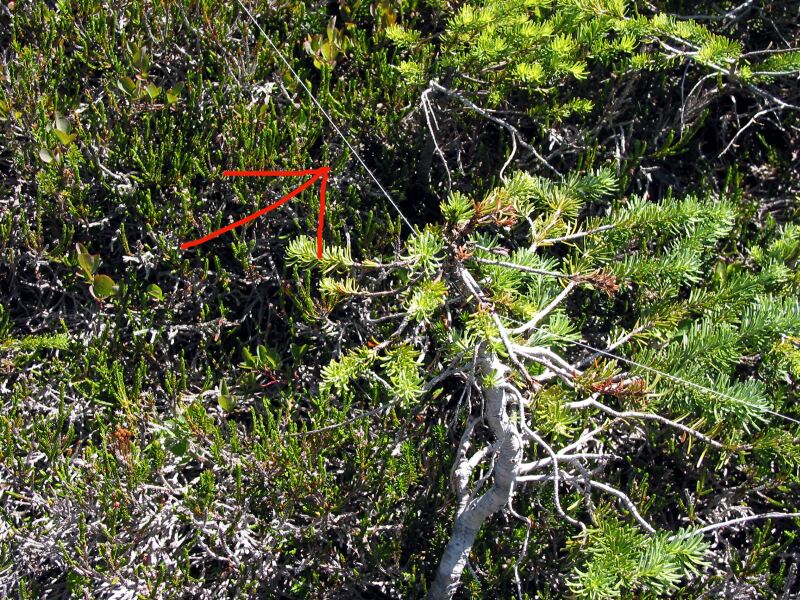
Ever wonder how they get the distances for hikes... if you are good you use a modern "chain" system that loggers use... a fine cotton thread that winds out behind you and you read out what distance you have travelled.
219.50 KB
Img_2199 copy.jpg
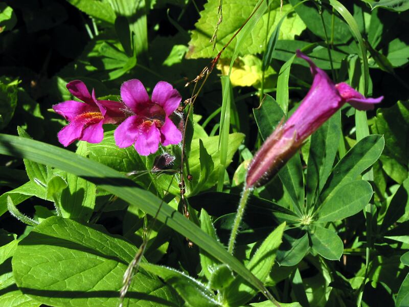
No, I don't know but it was pretty
102.48 KB
Img_2211 copy.jpg
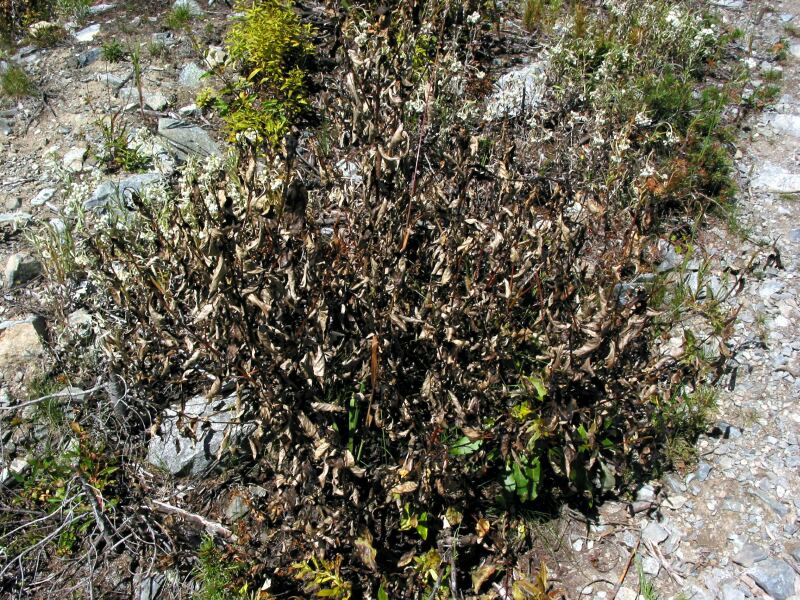
Humm, not shown but we passed some guys spraying stuff on the bushes on the pipeline... some modern herbacide to kill anything that might disturb the pipeline... cute results eh?
206.22 KB
Img_2214 copy.jpg
Oh now that's hiking... a bath at the bottom... see next photo
90.47 KB
Img_2219 copy.jpg
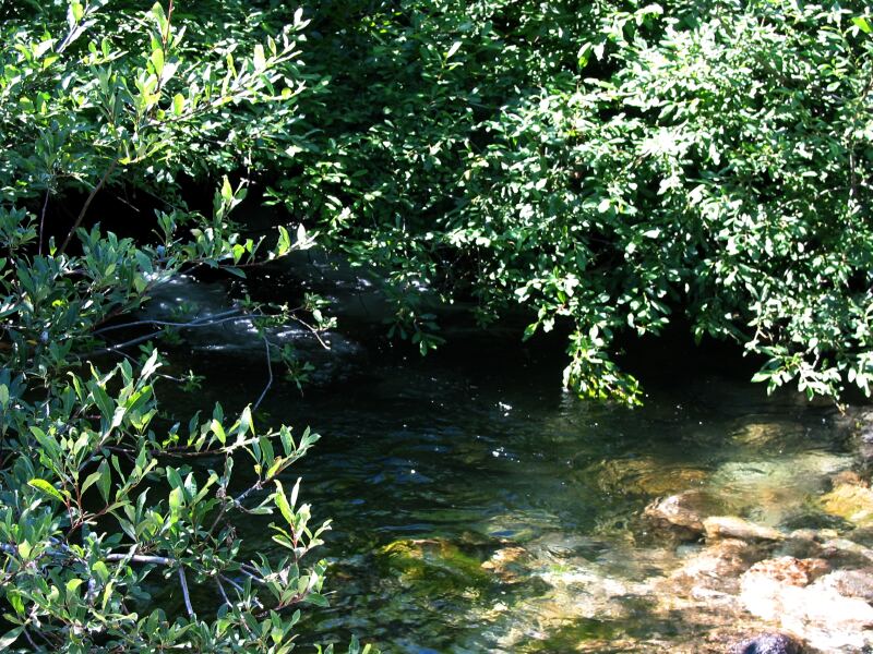
This is an overexposed shot of the pool, just off the parking lot... sigh hiking in heaven
170.21 KB
Img_2225 copy.jpg
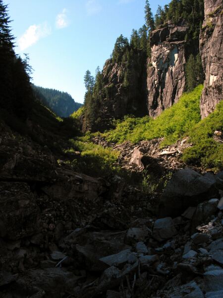
Ever seen that bare assed canyon just below the Great Bear Snow shed... thought you might be able to walk it but it seems a tad overgrown...
57.02 KB

Created by Primal Incite and IrfanView